Description
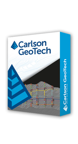
Carlson GeoTech provides the ability to import borehole data for analyzing subsurface conditions and materials. It will model all core samples and produce a detailed, easy-to-read report for drill logs, cross sections, and plan view. Geotech seamlessly integrates with Carlson Civil for determining site stability and viability, and Carlson Construction for accurate strata takeoff estimating.
This module can be purchased as a standalone module or as part of the Takeoff Suite, which also includes Construction, CADNet and Trench.
Important: This is a new end user perpetual license. If you are a current Carlson software user, please contact us to discuss renewal options.
KEY CAPABILITIES
- Input and edit drillhole log data with strata elevation, depth, and attribute data
- Generate drillhole log reports
- Label drillholes
- Draw Geologic Columns
- Draw Fence Diagrams
- Draw Isopach Maps for strata thickness, elevation, or attributes
- Draw Strata Surfaces
- Draw Strata Depth Contours and Cut Color Maps
- Model Strata Surfaces with linkage to Carlson Civil and Construction for strata quantities
- Annotate plan view drillhole location maps
General
- Carlson GeoTech will run in AutoCAD®, versions 2010 to current, as well as AutoCAD® Map, Land Desktop, Civil3D, and IntelliCAD
- Input and edit drillhole log data with strata elevation, depth, and attribute data
- Fix common drafting errors
- Handy tools for working in AutoCAD® such as Join Nearest, Shrinkwrap Entities, Polyline Utilities, Drawing Inspector, Layer Inspector, and Twist Screen
- Supports LandXML and scores of specific data conversions
Surfaces
- Build Surfaces by triangulation or rectangular grids
- One step triangulate and contour from 3D entities as well as contouring from surface files
- Change surface display properties and adjust surface functions to add and remove points and breaklines and swap edges
- Earthwork volumes between triangulation or grid surfaces
- Tie cut/fill slopes from pad perimeter to surface, build pad surface, calculate and balance volumes, and edit pad parameters
0 Reviews
Shipping & Returns
Returns Policy
You may return most new, unopened items within 30 days of delivery for a full refund. We'll also pay the return shipping costs if the return is a result of our error (you received an incorrect or defective item, etc.).
You should expect to receive your refund within four weeks of giving your package to the return shipper, however, in many cases you will receive a refund more quickly. This time period includes the transit time for us to receive your return from the shipper (5 to 10 business days), the time it takes us to process your return once we receive it (3 to 5 business days), and the time it takes your bank to process our refund request (5 to 10 business days).
If you need to return an item, simply login to your account, view the order using the "Complete Orders" link under the My Account menu and click the Return Item(s) button. We'll notify you via e-mail of your refund once we've received and processed the returned item.
Shipping
We can ship to virtually any address in the world. Note that there are restrictions on some products, and some products cannot be shipped to international destinations.
When you place an order, we will estimate shipping and delivery dates for you based on the availability of your items and the shipping options you choose. Depending on the shipping provider you choose, shipping date estimates may appear on the shipping quotes page.
Please also note that the shipping rates for many items we sell are weight-based. The weight of any such item can be found on its detail page. To reflect the policies of the shipping companies we use, all weights will be rounded up to the next full pound.


